
Measure, quote, send, build.
Four steps take a sports field from a shape on a satellite map to a priced, branded proposal and a live work order your crew opens on their phone. Step through it below.
From a satellite measurement to a signed proposal — without leaving the app.
Watch how a field goes from a shape on the map to a priced, branded proposal your crew can build from — no spreadsheets, no re-keying.
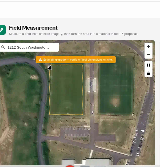
Measure the field from the sky
Search the address and trace the field on live satellite imagery. The app instantly calculates area, acres, and perimeter — and you can calibrate the scale against any known length, like a 100 ft fence, for a tighter estimate.
Measurements are estimating-grade — always verify critical dimensions on site before ordering material or committing to contract quantities.
Ready to see it on your own fields?
SportsFieldOps is invite-only while we onboard contractors one region at a time.
Invite-only onboarding, we work with a select number of companies so every setup gets proper attention.